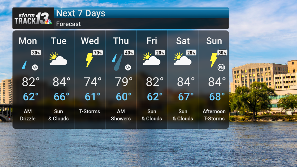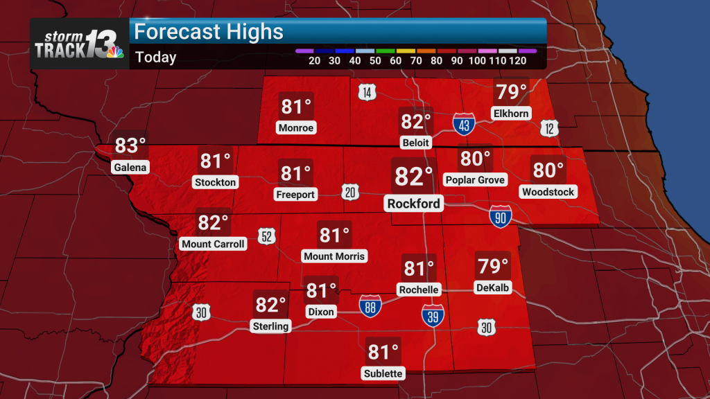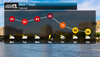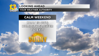
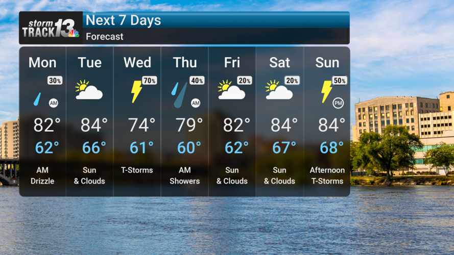
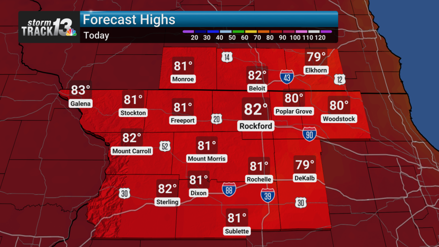
Mostly sunny skies are forecast for today across northern Illinois, with temperatures reaching the low 80s as light winds prevail. Before daybreak, some localized dense fog or low clouds may develop, but these will quickly dissipate by mid-morning, leading to a pleasant day.
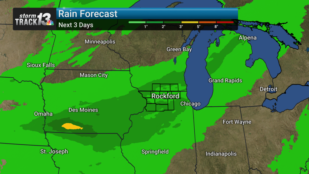
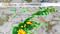
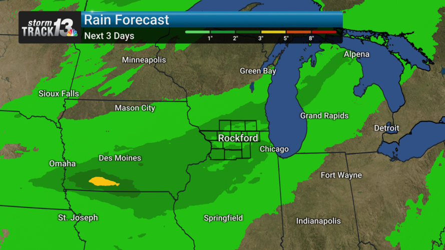
Conditions remain dry tomorrow, with temperatures becoming a bit warmer, rising into the low to mid 80s. Our focus then shifts to midweek, when a period of unsettled weather is expected as a cold front approaches. Showers and thunderstorms are likely starting Wednesday and continuing into early Thursday, bringing a concern for very heavy rainfall and potential localized flooding. Some of these storms could be strong.
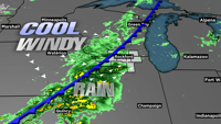
Quieter weather will follow late Thursday and into Friday as the cold front moves south. However, summerlike warmth is expected to return for the weekend as moisture builds back into the region. Increasing chances for showers and thunderstorms are possible by Sunday.